Engineering Consultancy
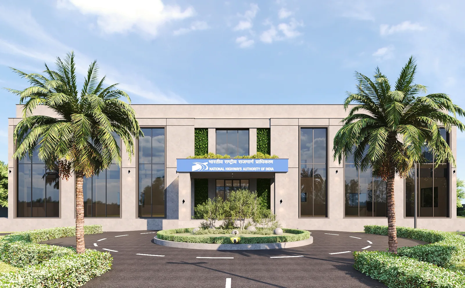
NHAI PIU Office Building, Kota
Kota, Rajasthan
View Case Study →
Namotech provides precision topographic surveys using total station instruments, DGPS, drone aerial mapping and LiDAR scanning technology. Our survey services support land development, highway alignment, building layout, site planning and infrastructure engineering projects.
A topographic survey maps the natural and man-made features of a site including ground elevations, contours, existing structures, utilities, vegetation and water bodies. It provides the base data for engineering design, site planning, earthwork estimation and project layout.
Setting up DGPS base stations and reference benchmarks
Total station measurements, drone flights or LiDAR scanning as appropriate
Point cloud processing, georeferencing and contour generation
Contour maps, DTM, cross-sections and plan drawings in CAD format
Independent check measurements and accuracy verification
Drone photogrammetric surveys typically achieve 2-5cm horizontal and 5-10cm vertical accuracy depending on ground control density. LiDAR provides higher accuracy of 1-3cm.
We can survey areas from small building plots (0.5 acre) to large linear corridors (100+ km for highway projects) using appropriate equipment and methods.
Standard deliverables include AutoCAD drawings, contour maps, digital terrain models, cross-sections and volume reports. We also provide 3D point clouds and orthomosaic images for drone surveys.
Contact Namotech to discuss your topographic survey requirements. Our engineering team will assess your project needs and provide a tailored approach.